

After the cold air blast to start the weekend, it’s time for warm, dry air and, by association, harvest! A frosty start Saturday morning may be repeated in some areas Sunday morning. We’re primarily talking about northern Indiana and all of Michigan. However, winds will already be shifting to the west and southwest Saturday, signaling the start of a warming trend. Still, clear skies Sunday morning will allow for another chilly start in our Beacon Credit Union Harvest Weather Forecast.
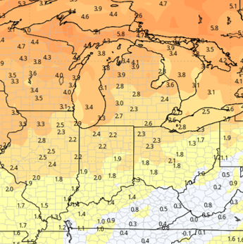
Full sunshine through the end of the weekend and throughout the coming week will send temperatures soaring to well above normal levels. Rapid drying is expected, with excellent evaporation rates and no rain threats throughout the week.
The next front we’re watching approaches Sunday, October 25. However, there is little moisture available along the front, so precipitation is expected to split into two areas. One round of light showers will move through the Lake Superior region and across southern Canada, while another batch along the front moves through Oklahoma and Texas before eventually reaching Arkansas. Here, we expect only a wind shift as the front passes.
That means we’ll start next week dry, but cooler. Nothing is expected to impede harvest, although morning dew could slow drying a bit Monday through Wednesday.

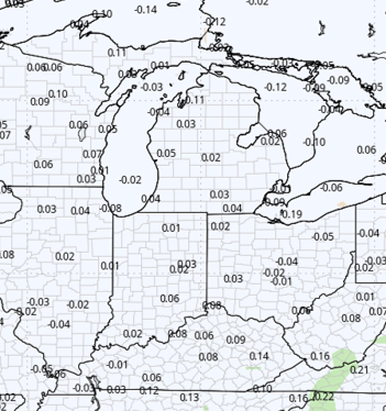
By midweek, increased cloud cover Tuesday and Wednesday, October 27-28, could bring a few sprinkles or light showers. However, rainfall totals should remain minimal, ranging from just a few hundredths of an inch to a tenth of an inch. The precipitation will affect only about 25% of the region, primarily northern Indiana and southern Lower Michigan. These conditions should not force farmers out of the fields.
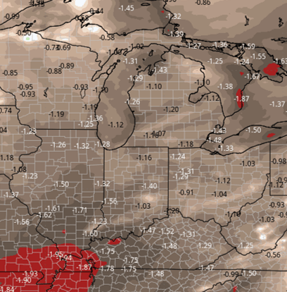
Overall, this forecast presents very few concerns about harvest progress over the next 10 days to two weeks. The map below shows total precipitation compared with normal levels for the period.
Extended Period:
Temperatures will warm again toward the end of next week. However, another push of colder Canadian air is expected to move southward during Halloween weekend. Similar to the previous weekend, this colder air mass will have limited moisture to work with. Still, increased cloud cover on October 31 and November 1 could trigger a few scattered, light showers, with greater chances in Michigan than in Indiana.
Cooler temperatures will carry into early November, but the cold air is not expected to persist for an extended period.
Weeks 3 & 4:
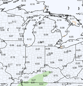
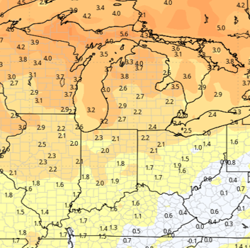
Weeks 3 and 4 are both expected to feature normal to slightly below-normal precipitation while temperatures remain above normal.
Week 3 Precipitation:
Week 3 Temperature:
Week 4 Precipitation:
Week 4 Temperature: